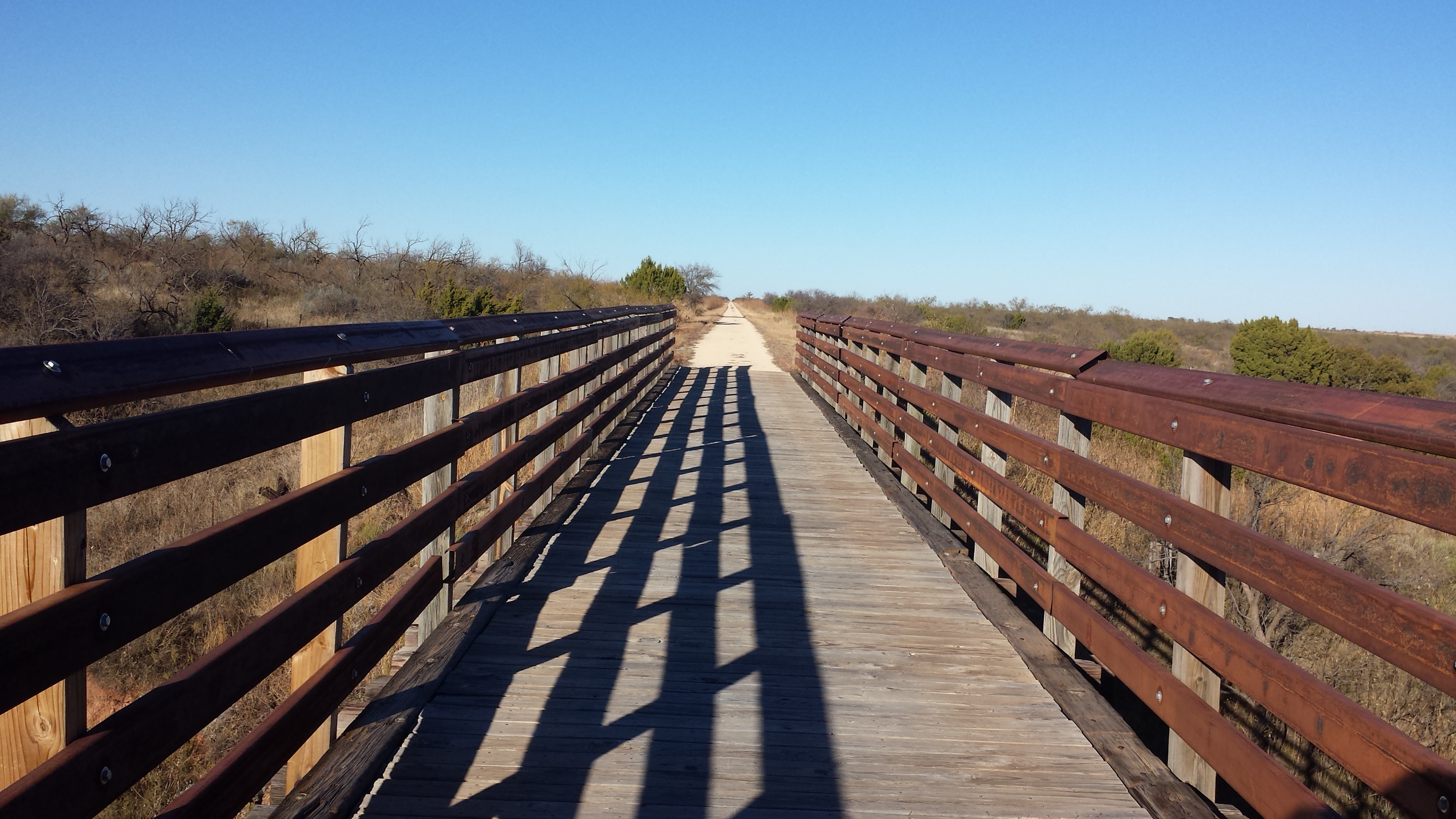
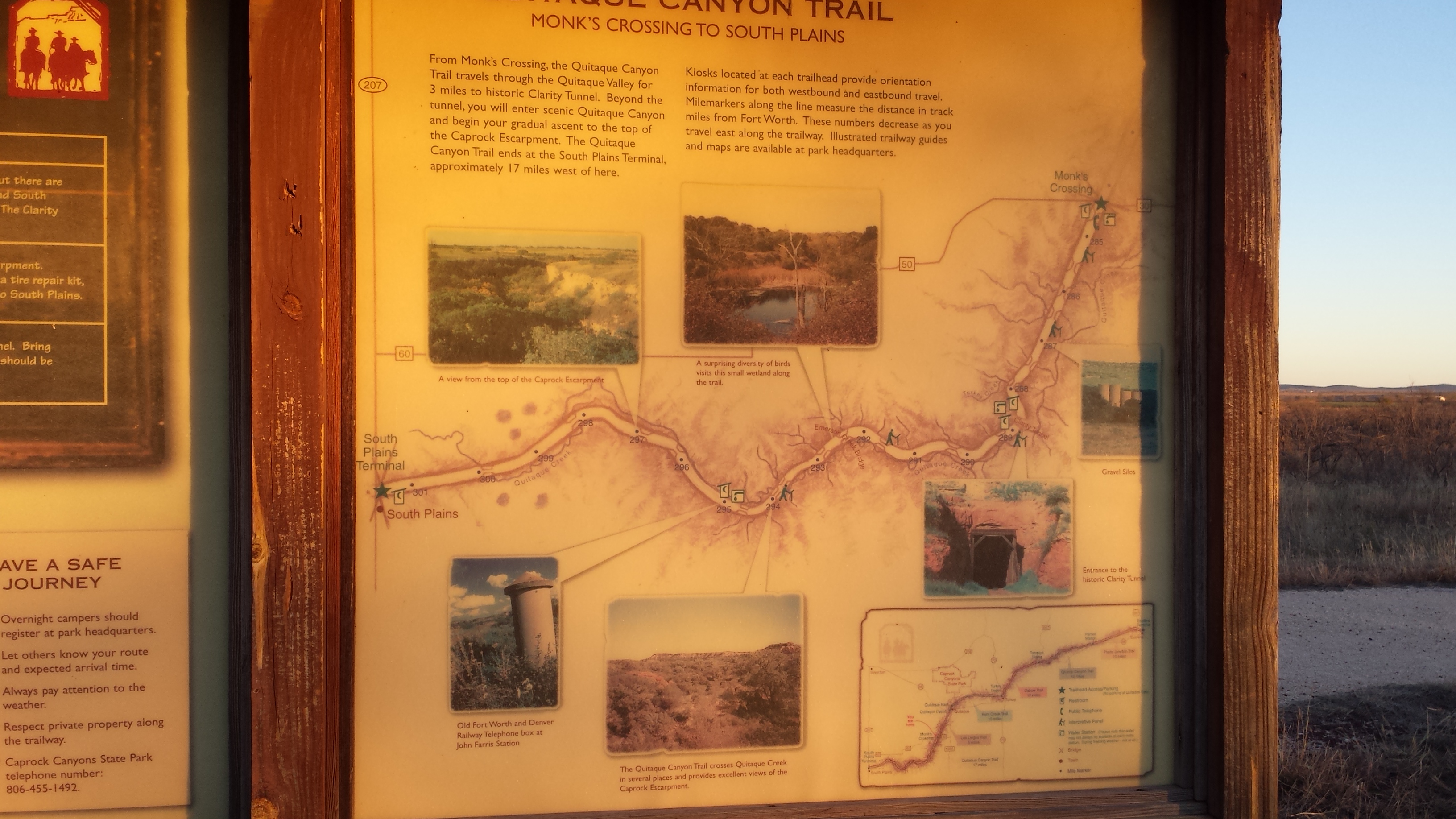
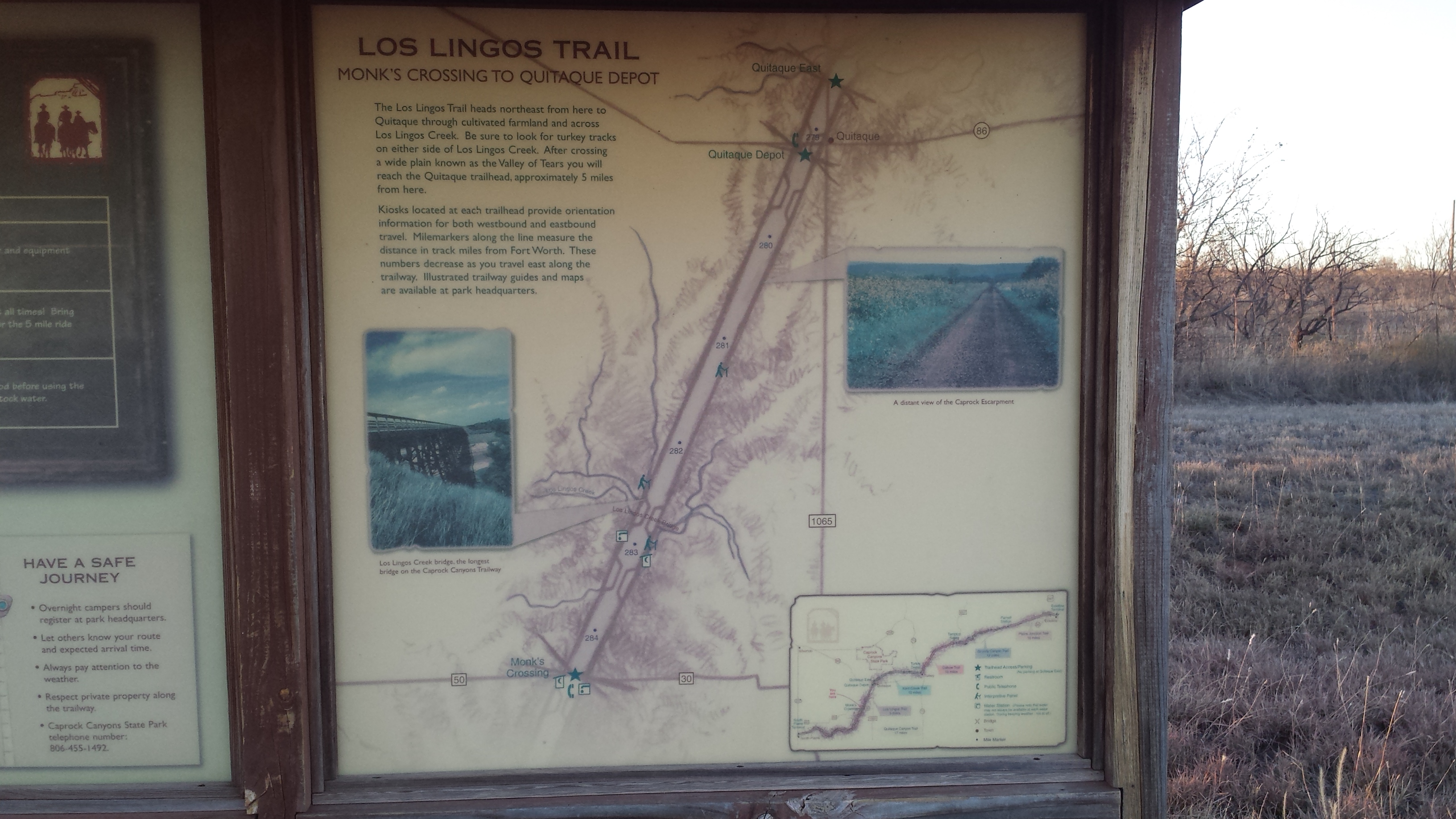
Located between South Plains and Estelline, Texas, this rail trail offers a variety of scenery. A Trail Map is available. There is also a Map of the Caprock Canyons State Park that is north of Quitaque. The park has nice single track trails.
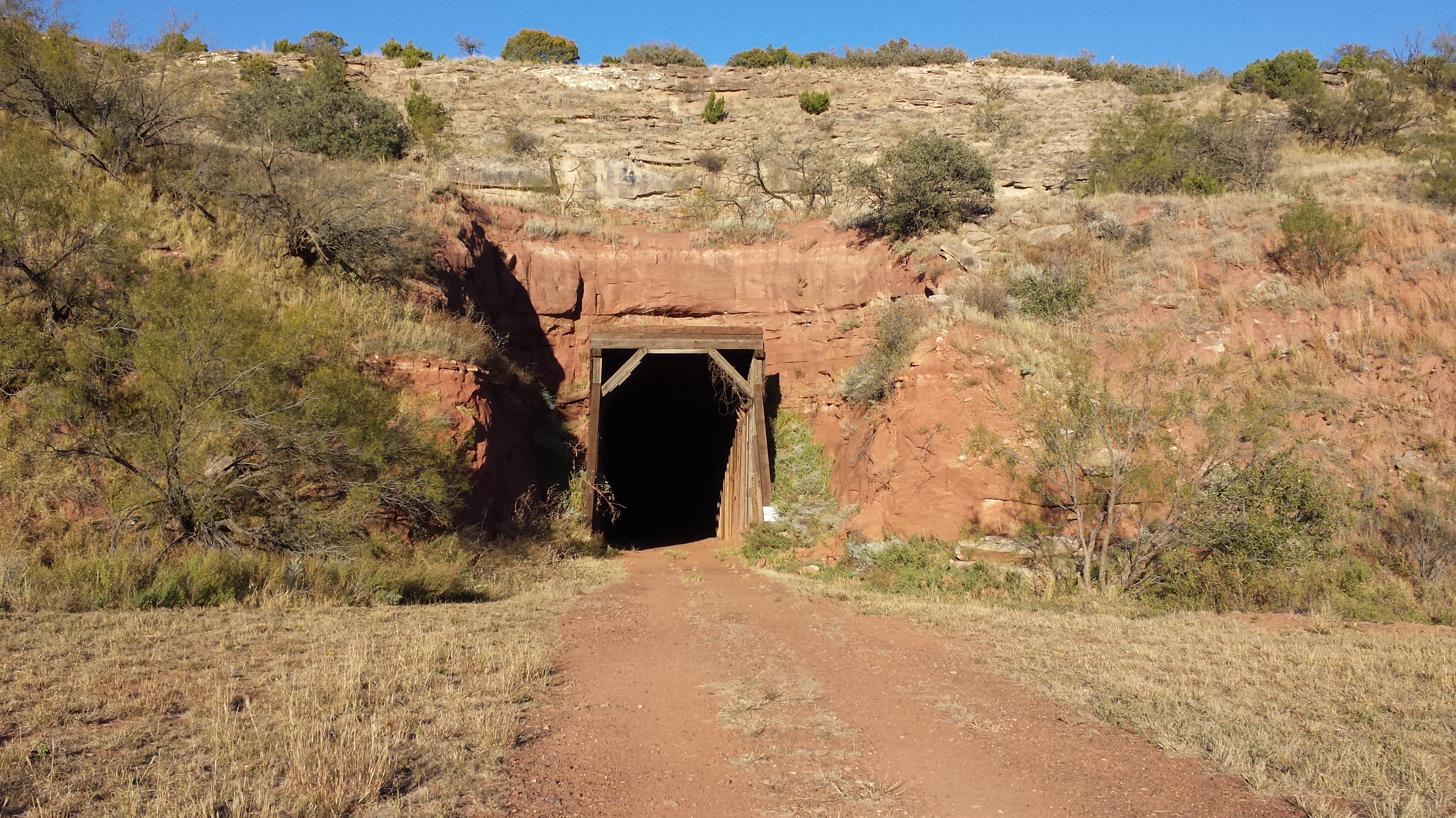
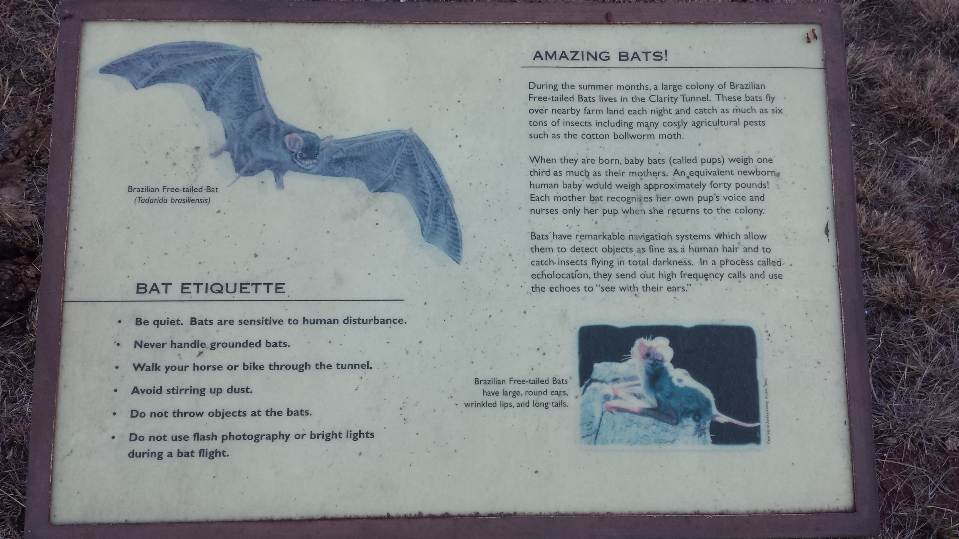
I rode the section from Monks Crossing toward South Plains today. I think it is the most scenic because it rises from the valley floor to the caprock. There is one tunnel that is about 520 feet long. It was over 900 feet long, but part of it collapsed trapping a train inside so they excavated a few hundred feet to free the train. The tunnel has wood cribbing and is in good condition. There are also bats in the tunnel so they encourage you to walk, stay quiet, and avoid stirring up dust.
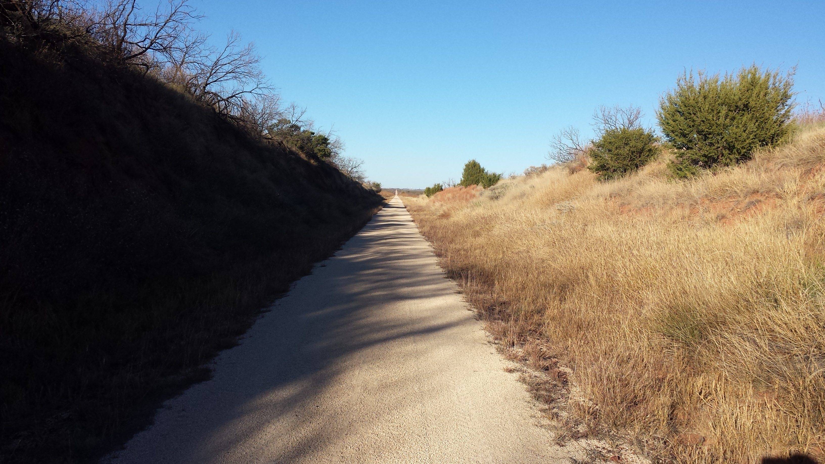
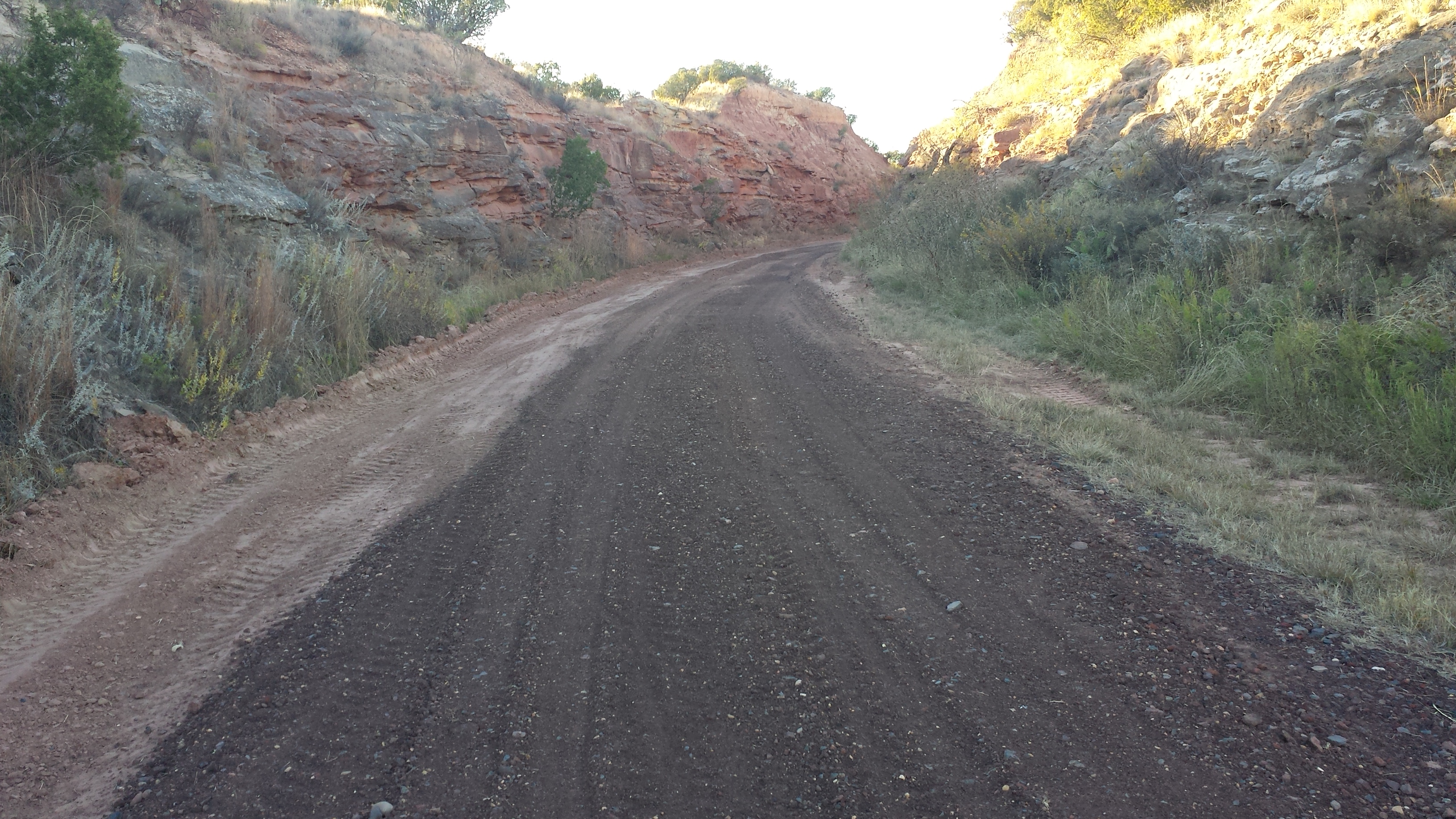
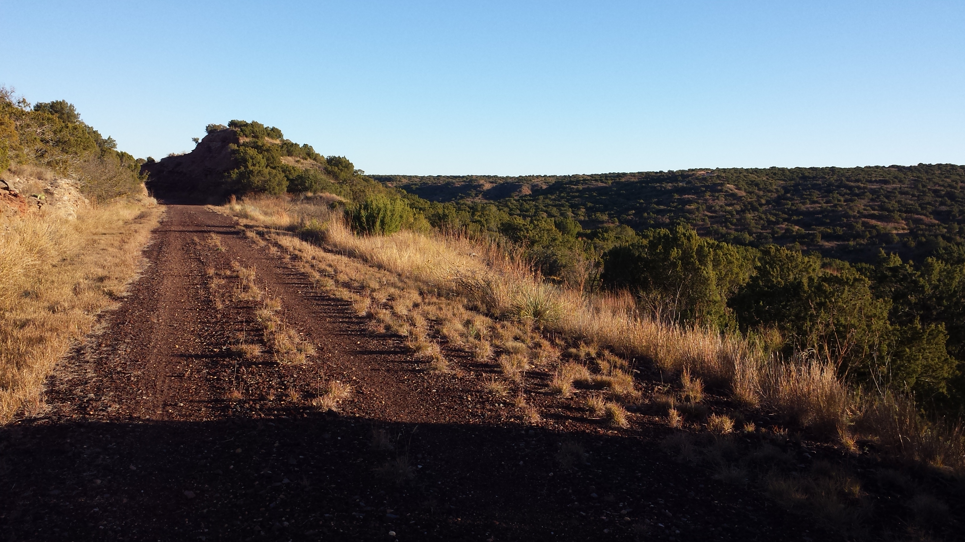
The trail surface was in good condition and varied from small crushed gravel to ballast mixed with dirt and gravel to dirt. It was dry and all of the various surface types were smooth. Horses are allowed on the trail so I imagine it can have a rough surface at times. There are long straight sections such as the 8 miles from Quitaque almost to the tunnel where the trail is straight and the long distance view does not change very fast. I would imagine this could be a very long time to look at the Quitaque water tower from a saddle of a horse.
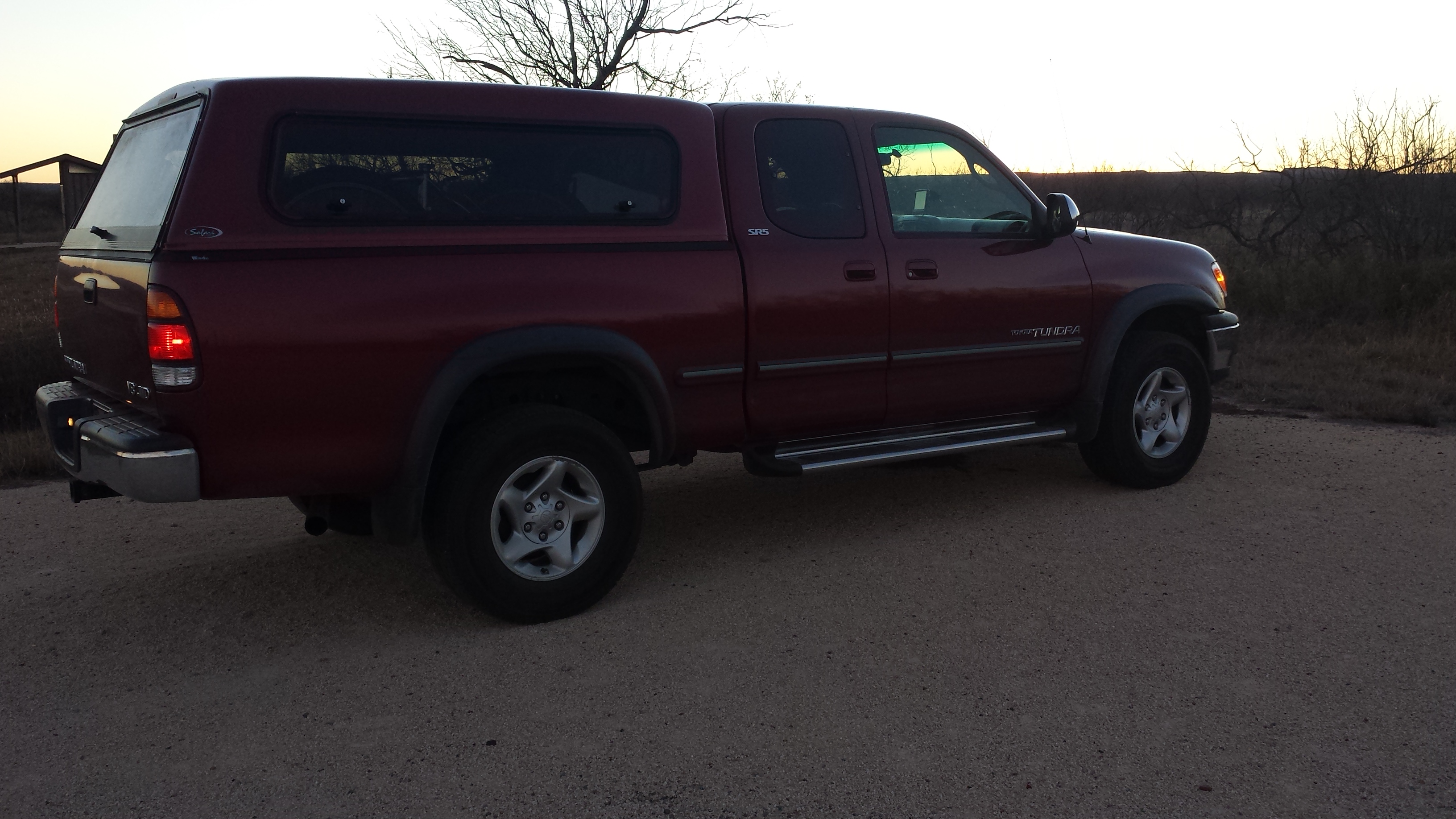
November 19, 2015 was perfect weather to ride the trail. There was no wind which has to be a first for this part of Texas. Temperatures were in the upper 60’s until sunset. I would recommend this trail in the spring and fall. I think it gets too hot here in the summer. Here are some pictures.
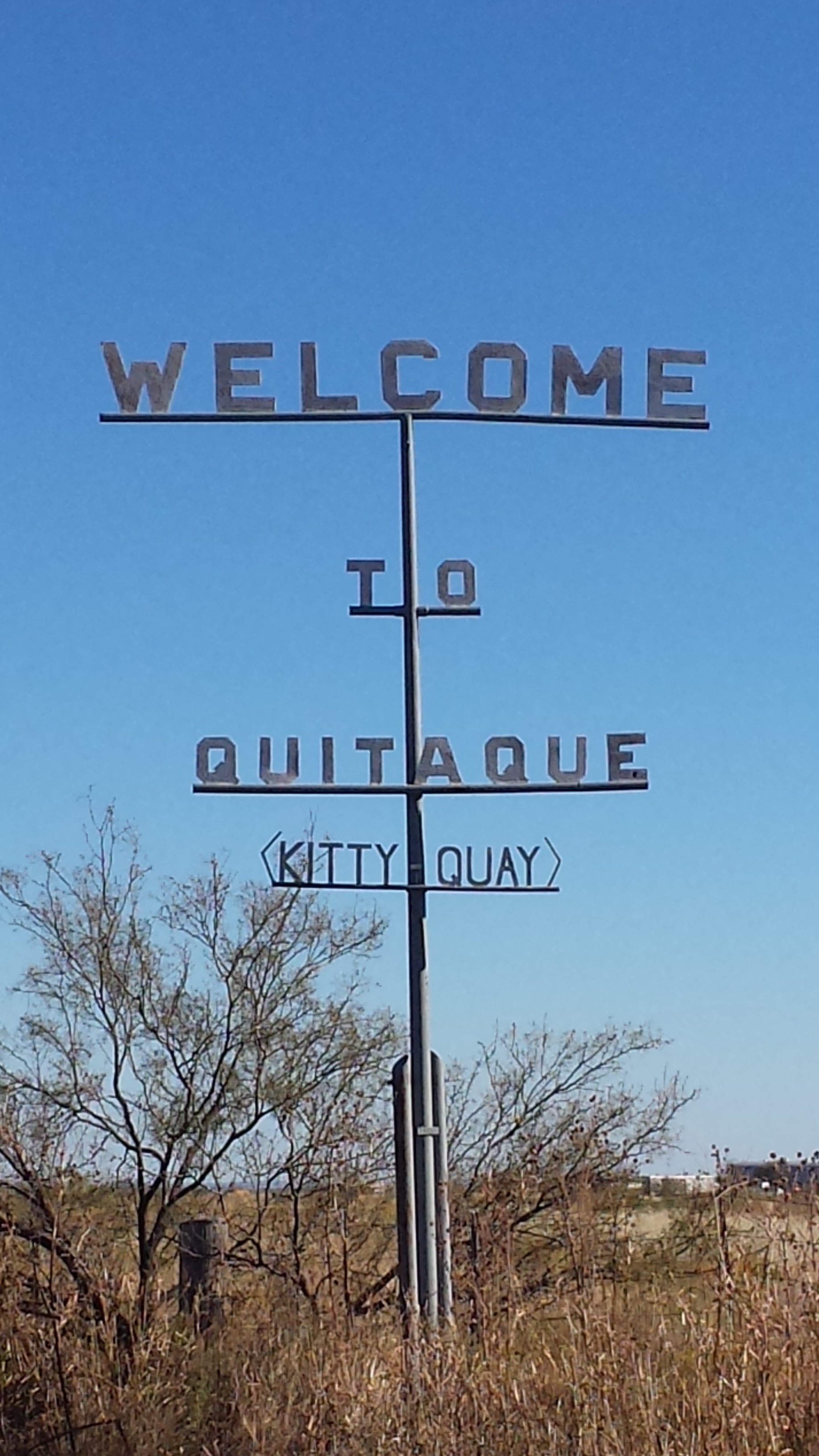 I can imagine that very few people pronounce Quitaque unless they see this sign or know a Texan. I think my hometown of Pierre, South Dakota could benefit from a sign like this. But that would also take away some of the fun of having foreigners come to town.

 ll
ll